2026 Atlantic Hurricane Season Outlook
3 minute readIs the 2026 hurricane season going to be bad? Climate scientists are expecting the 2026 Atlantic hurrican season to bring
Home > BKV Energy Blog > All Posts > Why Is It Storming So Much in Texas Lately?
An interview with Avery Tomasco, CBS Austin News meteorologist, on recent severe weather in Texas
3 minute read • Last update July 2025

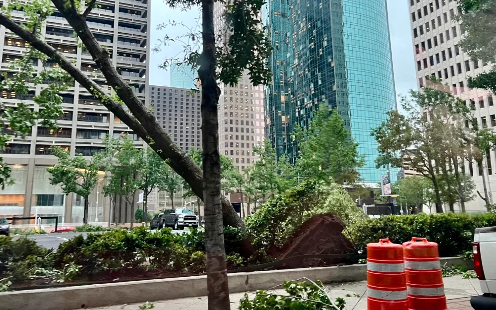
In May 2024, Dallas and Houston both experienced several instances of severe weather that left hundreds of thousands of Texans without power for several days.
We spoke to Avery Tomasco, meteorologist for CBS Austin News and 3x Emmy winner for best weathercast in Texas, to find out if storms like these are the norm, to learn more about the conditions that are causing this weather, and to discover if Texans can expect continued high intensity storms.
Here’s a quick overview of what we uncovered:
BKVE: Thank you for providing your perspective on the recent severe storms passing through Texas. Are the recent storms in Houston and Dallas typical for this time of year?
Tomasco: Yes, this is the stormiest time of the year for Texas, and in general, you would expect a series of storms like this in the month of May and early June.
BKVE: Are the storms we’ve seen in Houston and Dallas more severe than we normally see in these areas?
Tomasco: The severity of the storms we’ve seen this spring season isn’t any more intense than you would see any other year. Storms producing 80, 90, 100 mph straight-line winds are not uncommon, but when they blast through high population density areas like Houston and Dallas, they are a much bigger problem than if they had occurred in open farmland. That’s why they’ve been so attention-grabbing this season more than others.
This has been a stormier than average spring season for much of the northern, eastern, and southeastern areas of the state. In Waco, May was the wettest month ever recorded. Dallas has received nearly double its usual rainfall since March 1st, and Houston picked up twice the usual rain accumulation for the month of May.
BKVE: What specific weather conditions are leading to the development of storms that are capable of this much destruction?
Tomasco: In general, the spring season is when you have summerlike heat and humidity trying to build from the south while winter-like storm systems (mid-latitude cyclones) are still swinging south enough enough through the continental U.S. to turn that more energetic air into stronger storms.
More recently, Texas has been uniquely situated on the northeastern side of a ridge of high pressure that has been stuck over Mexico for several weeks. That allows for “ridge rider” disturbances (weak, frequent disturbances that generate multiple rounds of storms) to move over the same areas over and over again resulting in several severe storms.
BKVE: Is global warming at play here?
Tomasco: Yes, a warming climate is at play in these storms especially as it relates to the Gulf of Mexico. The Gulf is currently the warmest it has even been this early in the year, and anytime we have a southerly wind coming into Texas, that wind is dragging extra moisture that’s supplied to the atmosphere when sea surface temperatures are this warm.
Air temperatures have also been warmer than average, and basic physics says that warmer air can hold more moisture, and when that moisture condenses into a thunderstorm, it leads to heaver rainfall. Many rivers in the north and east of Texas have subsequently seen some of their worst flooding on record as well.
BKVE: Can we expect more storms like this in the future?
Tomasco: In the short term, storm activity will wane as we get closer to the end of June and beyond. This is the time of the year that the ridge of high pressure is more likely to occupy the southern U.S., which prevents storm development and increases temperatures.
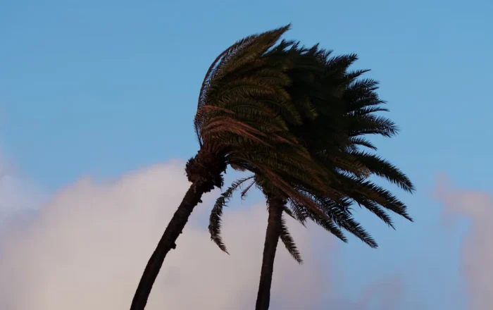
Our focus will then turn to hurricane season which peaks in August for Texas, and because of the record hot temperatures ongoing across the entire Atlantic hurricane basin and the return of La Nina conditions, it’s expected to be a very intense hurricane season overall.
BKVE: Thank you for the detailed information. This has been very enlightening.
Follow Avery Tomasco on Facebook or X (formerly Twitter) to stay updated on weather in Texas.
Graham Lumley, Growth Product Manager at BKV Energy, leads digital and traditional marketing strategies, focusing on educating Texans about the state's deregulated energy market. With over 10 years of marketing experience, he creates content to help consumers understand and save on their energy bills, bringing a fresh and dynamic approach to the industry.

Is the 2026 hurricane season going to be bad? Climate scientists are expecting the 2026 Atlantic hurrican season to bring

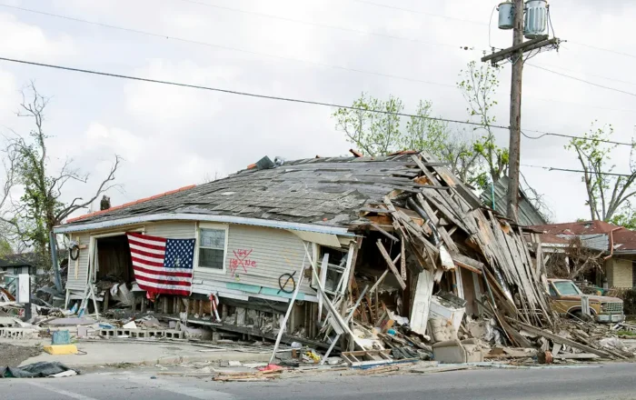
The 2026 hurricane season, starting June 1, 2026, and ending November 30, 2026, is rapidly approaching. Here’s the list of
Get $50 off your electric bill!
Use code BKVEJOINUS50
Enter your zip code to shop BKV Energy's affordable, fixed-rate Texas electricity plans. Use the promo code for $50 off your electric bill.