2026 Atlantic Hurricane Season Outlook
3 minute readIs the 2026 hurricane season going to be bad? Climate scientists are expecting the 2026 Atlantic hurrican season to bring
How Do Hurricanes Form? Understanding the Lifecycle of Tropical Cyclones
4 minute read • Last update May 2026
Hurricanes form when specific atmospheric and oceanic conditions align to fuel a powerful weather system.
Understanding these conditions answers the fundamental question: how do hurricanes form?
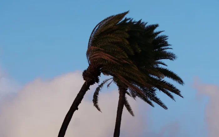
Hurricanes are powerful tropical cyclones that form over warm ocean waters in the Atlantic or the northeastern Pacific Ocean. These storms are characterized by intense wind speeds, heavy rainfall, and often accompanied by storm surges and coastal flooding. Hurricanes are among the most destructive natural phenomena.
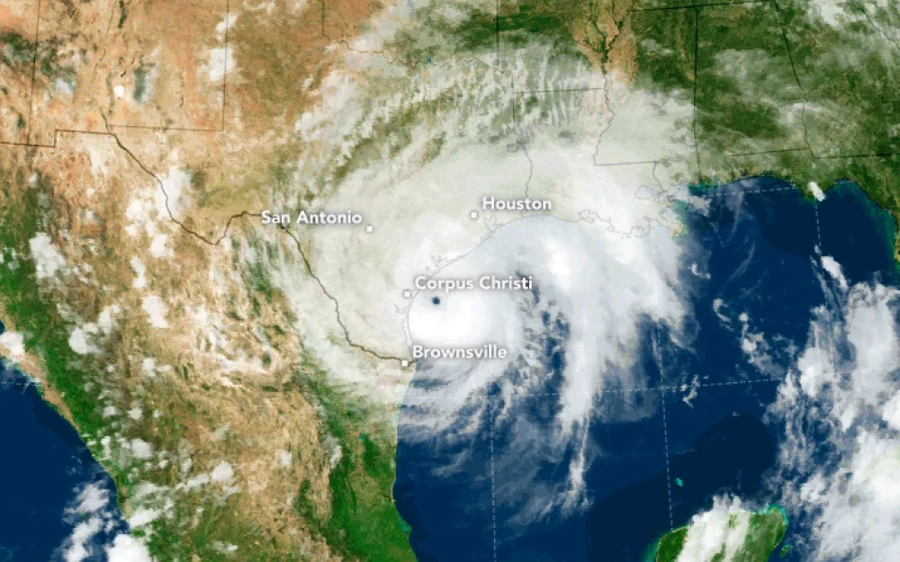
Hurricane systems are distinguished by their low-pressure centers called an “eye.” The eye of the storm is surrounded by a wall of intense storms called the “eyewall.” This area is where the highest winds and heaviest rains occur. Around the eyewall, bands of clouds and storms can extend outwards for hundreds of miles.
Hurricanes form thanks to a perfect storm of atmospheric and oceanic conditions, including warm ocean water, atmospheric instability, low air pressure, and the Coriolis effect.
Here’s an explanation of the process step-by-step:
Hurricanes typically form over tropical areas of the ocean where the water temperature is at least 80 degrees Fahrenheit. Warm water acts as fuel for a hurricane by providing the heat and moisture needed to power the storm.
Warm, moist air rises up from the ocean surface. As it rises, it cools and condenses, forming clouds and releasing heat. This released heat warms the air around it, causing the air to rise further and creating more clouds and condensation.
As warm air continues to rise, it leaves a lower pressure region near the surface. Air from surrounding areas with higher pressure moves into the low pressure area, then warms and rises as well, continuing the cycle.
The rotation of the Earth causes the path of the moving air to curve (right in the Northern Hemisphere and left in the Southern Hemisphere), a phenomenon known as the Coriolis effect. This effect is essential for the development of the rotating structure of a hurricane.
The storm system begins to organize and consolidate with the help of the Coriolis effect, developing a well-defined rotation around a central core, or “eye.” The system strengthens as more warm, moist air is drawn into the circulating storm.
As the rotating storm system gains energy from the ocean’s heat, its wind speeds will increase. When these winds reach 39 mph (63 km/h), the system is classified as a tropical storm. If it continues to grow and the winds exceed 74 mph (119 km/h), it becomes classified as a hurricane.
When a tropical storm or hurricane approaches land, watch or warning alerts will be announced to the public to allow them to prepare before the storm arrives. At that time, those in the path of the storm should begin to take action to protect their property and lives, by sheltering in a safe place or leaving the area.
The stages of hurricane formation can be tracked in the following stage progression:
The lifecycle stages a hurricane passes through are not meant to be confused with the 5 categories of hurricanes. Rather, hurricane categories measure sustained wind speed.
| Hurricane Stage | Explanation |
|---|---|
| Disturbance formation | When evaporation over tropical ocean waters creates an increasingly dense pack of warm clouds. As air continues to heat up, a large mass of warm rain clouds grows above the ocean. |
| Tropical disturbance | The large mass of rain clouds transitions to thunderstorms with light wind circulation. Officially considered a tropical disturbance when this structure is maintained for more than 24 hours. |
| Tropical depression | A tropical disturbance transitions to a tropical depression when the formation sustains wind speeds between 23 to 38 mph. There is increased wind circulation, but there is still a lack of true storm structure. |
| Tropical storm | After wind speeds reach 39 to 73 mph, a tropical depression can be considered a tropical storm. These cyclones look like smaller, less threatening hurricanes, but they can still cause significant flooding and damage when they make landfall. |
| Hurricane | After a tropical storm has wind speeds that reach 74 mph, the formation officially meets the requirements to be considered a hurricane. The storm takes the true shape and structure of a hurricane with a completely formed eye. Hurricanes are categorized by wind speeds in 5 categories. |
| Dissipation | After hurricanes make landfall, they stop gaining power because there is no more warm water to facilitate continued growth. The storm dissipates as wind speeds decrease and it breaks apart into disorganized thunderstorms. Eventually the storm falls apart completely. |
| Category | Wind Speed (mph) | Damage at Landfall | Storm Surge (feet) |
| 1 | 74-95 | Minimal | 4-5 |
| 2 | 96-110 | Moderate | 6-8 |
| 3 | 111-129 | Extensive | 9-12 |
| 4 | 130-156 | Extreme | 13-18 |
| 5 | 157 or higher | Catastrophic | 19+ |
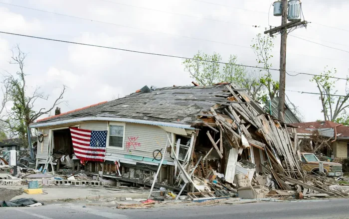
It’s important for Texans to understand how hurricanes form, how they might impact their family and home, and how to prepare when a hurricane is headed in your direction.
A focus on hurricane safety and preparedness underscores the need to choose an electricity provider that is ready to truly care for and support their customers in case of a natural disaster.
If you switch to BKV Energy, you can rest easy that if a hurricane is headed your way, we’ll be right there with you to provide safety tips, keep you updated, and support you after the storm subsides. Enter your zip code to explore rates in your area and discover the many rewards and benefits of the Bluebonnet plan.